
NEW from Google
Earth Day is almost here but Google is ready to show you the effects of climate change now. They’ve launched the biggest update to Google Earth since 2017 — Timelapse.
The Timelapse feature compiles 24 million satellite photos from the past 37 years, creating an interactive 4D experience. The Timelapse video translates to quadrillions of pixels and required “a significant amount of ‘pixel crunching,’” Google noted in their blog. As far as anyone knows, Timelapse in Google Earth is the largest video on the planet of our planet.
The driving force behind the update is to show the rapid environmental change on our planet from the last half-century. Timelapse highlights five themes, which can be clicked to activate a “guided tour” through each topic — forest change, urban growth, fragile beauty, warming temperatures, and sources of energy. Google worked with experts at Carnegie Mellon University’s CREATE Lab on the technology and to translate all that environmental data into a digestible guided tour.
If you’re feeling inspired once you’ve completed the guided tour, here are four tools that can help you reduce your carbon footprint.
Watershed - A software platform to help companies create their own climate program
Aerial - An app that pulls data from your inbox, notifies you of emissions activity, and suggests options to offset your carbon footprint
Klima - An app that lets you calculate your carbon footprint and find verified climate projects to offset it
Neutral - A browser extension that enables you to offset your purchases
Take the timelapse tour
💌 Join 500K+ subscribers who get the best of tech every day right to their inbox
HIGHLIGHT
You probably heard — Coinbase had its IPO.
We spoke to Brian Armstrong four years ago, around the time Coinbase Wallet (originally Toshi) had launched on Product Hunt. He told us then that the #1 risk to crypto was that “digital currency doesn’t go mainstream."
Does this mean cryptocurrency has gone mainstream?
We spoke to Brian Armstrong four years ago, around the time Coinbase Wallet (originally Toshi) had launched on Product Hunt. He told us then that the #1 risk to crypto was that “digital currency doesn’t go mainstream."
Does this mean cryptocurrency has gone mainstream?
Sponsored By
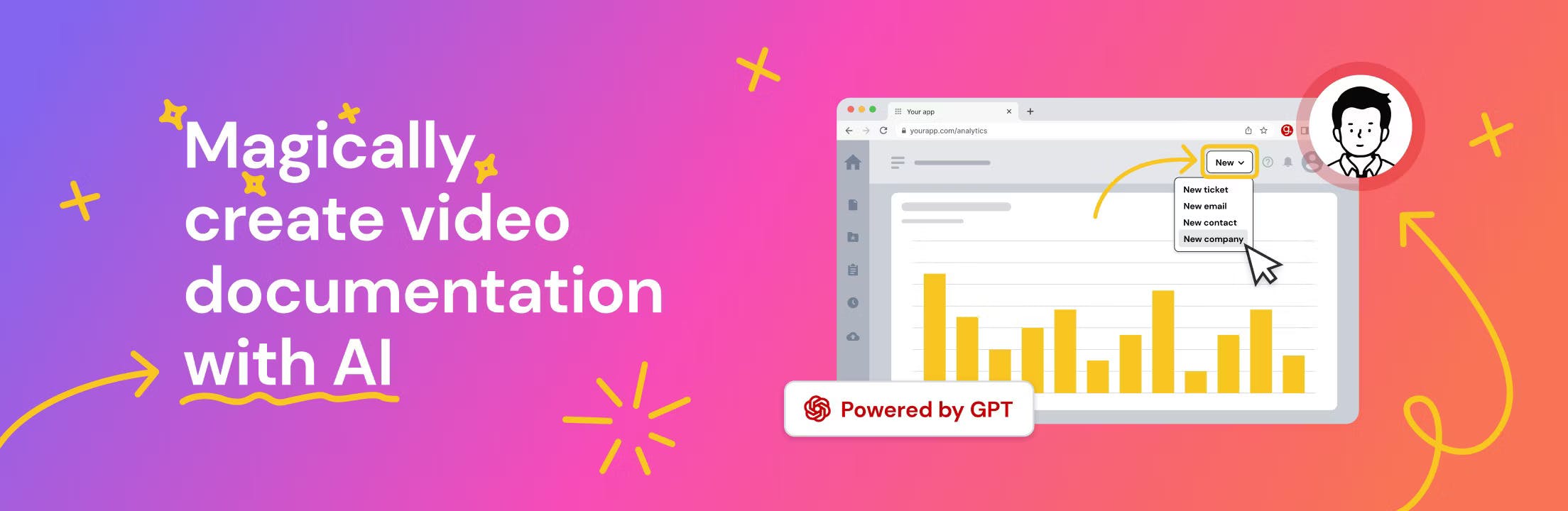
Tired of explaining the same thing over and over again to your colleagues? It’s time to delegate that work to AI. guidde is a GPT-powered tool that helps you explain the most complex tasks in seconds with AI generated documentation.
Simply click capture on our browser extension and the app will automatically generate step-by-step video guides complete with visuals, voiceover and call to actions.
The best part? Our extension is 100% free.
Yesterday's Top Products


