
God’s Eye View
Spy satellite simulator in your browser but the data is real
146 followers
Spy satellite simulator in your browser but the data is real
146 followers
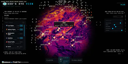
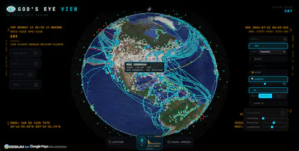
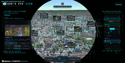
A spy satellite simulator in your browser - then you realize the sources are public and the data is real. Photorealistic 3D globe with live aircraft, ships, satellites, earthquakes, traffic, and public cameras. Talk to the planet with hands-free voice control using a realtime AI agent. Fully open source under MIT license, runs in your browser and is designed to cost little to nothing for personal exploration. No place left behind!


This is why vibe coding is so cool. Who would have built this 10 years ago??
@chrismessina thank you chris - surreal way to start a saturday!
"the data is real" is the part i want to know more about - is it live satellite imagery/telemetry, or a real dataset that's just not updating in real time? those are very different demos even if they look the same in a gif
@bilawalsidhu that's a great answer, thanks. the spoofing point is the interesting one - is that something the simulator flags in any way (like an aircraft broadcasting an impossible position/speed jump), or is it purely on the viewer to sanity-check what they're seeing?
Brother is this for real, is the data 100% accurate?
Well this was a genuinely pleasant surprise! I didn’t even know God’s Eye View had been hunted until it popped up in my feed today. Thank you to Chris!
The premise is simple - the feeling of a spy thriller command center rebuilt from signals already broadcasting in public. Essentially a real-time "common operational picture" of the world we live in - aircraft, ships, satellites, traffic, public cameras, fires, earthquakes - all brought together on a photorealistic 3D globe that you can talk to using voice control.
The initial demos went kind of viral on YouTube and the most common comment was "give us the code" - so here it is! It’s fully open source under MIT, runs in your browser, and the whole point is to break it, remix it, and add layers and modes I couldn’t even imagine. PRs are welcome so please have fun! And do tell me what should we add next?
ADS-B and AIS are both self reported, so the globe is showing whatever agreed to be seen that minute. ships doing something they shouldnt switch the transponder off and drop off the map completely, thats a known move in sanctions work, and aircraft have the FAA blocking programs on top of that. does the app hold a last known position when a track goes dark, or does it just vanish @bilawalsidhu ?
The framing here is doing something unusual. Most products dress thin data up to look authoritative and you've gone the other way, real public feeds in a spy movie costume. The risk is that people file it as a toy and never check whether an aircraft position is actually current, so I'd put the source and the timestamp on the globe itself instead of an about page.