TopoExport
Export 2D+3D GIS data instantly for CAD+BIM archi projects
1 follower
Export 2D+3D GIS data instantly for CAD+BIM archi projects
1 follower
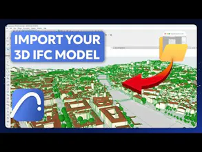
TopoExport is a fast and easy web app to extract accurate GIS data and generate 2D site plan maps and 3D topographic models in DXF, PDF, SVG, STL, OBJ, and IFC formats. Ideal for architects, planners, and engineers creating simple digital twins CAO + BIM ready