
ProPaving
AI pavement area, stall counts and stripe lengths
3 followers
AI pavement area, stall counts and stripe lengths
3 followers
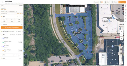
ProPaving turns satellite imagery into a reviewable paving takeoff. AI traces pavement boundaries and landscape cutouts, places stall dots, and measures painted stripes in linear feet. Find a lot by address or move around the map, then watch the drawing take shape. Try a free pavement preview on your own lot. Paid plans unlock measurement totals, AI striping tools and PDF exports. Built for paving, sealcoating and striping contractors.



Free Options
Launch Team

AWS Startup AdvisorPersonalized AWS guidance that meets you where you’re already building
Promoted
