Most AI agents understand data but not the real world, and that gap is huge in geospatial. PangeAI seems to bridge that nicely, especially with practical use cases like querying real-world events without a full GIS setup.
Feels genuinely useful, not just “AI for the hype.” Curious to see how it scales.


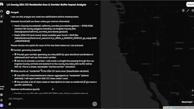

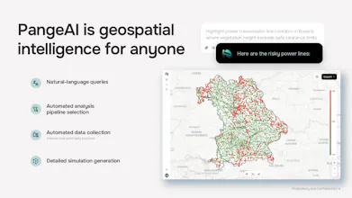


PangeAI
🌎🫶If you've ever spent a Friday night reprojecting EPSG:4326 into EPSG:5514 and questioning your life choices: this one's for you. Marek here, CTO and recovering geospatial engineer. We built PangeAI so AI agents can finally handle the stuff that made me want to quit grad school. Would love your feedback, especially the brutal kind.
PangeAI
Johanna here, CEO of PangeAI.
Nowadays everyone seems to be building AI agents…
we’re focused on the ones that actually matter - the ones that understand the real, physical world (and save you from GIS-induced suffering)
Would love your thoughts (I'm German, so honest feedback is basically a love language)
PangeAI
PangeAI
Most AI agents know what they’re talking about, but they have no idea where they are. We’re here to make sure the robots don’t try to take a shortcut through a lake just because it's a straight line on a CSV
Please get in touch with us for info, we'd love to map things for you :)
PangeAI
@yanbin_pan hi!
the "where" problem gets even weirder when you need consensus on it.
we have been building an on-chian land registry where the hard part is not intelligence, it is getting a blockchain to agree on polygon intersections without any oracles..
different stack, same enemy: geometry that looks fine until it suddenly isn't!
PangeAI
@cremer PangeAI = geospatial AI. No consensus problem here, but we do have the "valid in WGS84, cursed in EPSG:3857" problem. Solidarity. 🌎🫶