Launching today

Open Index
UK public data for every postcode, with sources
2 followers
UK public data for every postcode, with sources
2 followers
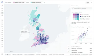
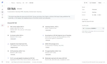
Free atlas of UK public data: 130 layers from 27 publishers on one map. A page for every council, town and school, and a report for every postcode: crime, schools, flood risk, radon, noise, broadband and prices. Every number shows its source. No sign-up.


Free
Launch tags:Maps
Launch Team

Dropbox SignSimple, secure eSignatures for the way your team works.
Promoted

 Byword