Magpie Maps

Magpie Maps

Advanced UK public transport isochrone/reachability maps

1 follower

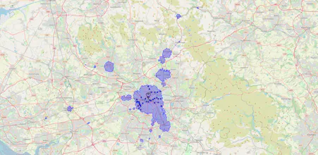
Map how far can you go by rail in a given time from any point in Great Britain. Plan a commute or a holiday.
Magpie Maps gallery image
Free
Launch tags:Tech
Launch Team

What do you think? …

Alex Skinner
Hello product hunt, Isochrone maps show areas which are reachable within a given time limit. Specifying them for car journeys is straightforward, but scheduled public transport add lots of factors which affect how far you can go, e.g. what time are you setting off?, what day of the week is it?. There are already ischrone generators out there, but none of them let you set all the relevant parameters - so I made one.