Do you use IGiS Desktop-Scanpoint Geomatics Limited?
What is IGiS Desktop-Scanpoint Geomatics Limited?
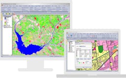
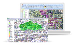
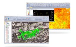
IGiS Desktop provides advanced GIS software for GIS mapping and image processing by using innovative ways of analyzing, visualizing, and processing geographic data. A GIS Software with Image Processing, Photogrammetry, and CAD for Windows.


Recent launches
IGiS Enterprise Suite (Powered by SGL)
IGiS Enterprise Suite is a powerful geospatial suite with feature-rich tools to help you create, analyse, manage and securely share geospatial data over the Internet and intranet.

IGiS Desktop
IGiS Desktop provides advanced GIS software for GIS mapping and image processing by using innovative ways of analyzing, visualizing, and processing geographic data. It's a GIS Software with Image Processing, Photogrammetry, and CAD for Windows.

