
GroundWork
A free tool to label drone, aerial, and satellite imagery
2 followers
A free tool to label drone, aerial, and satellite imagery
2 followers
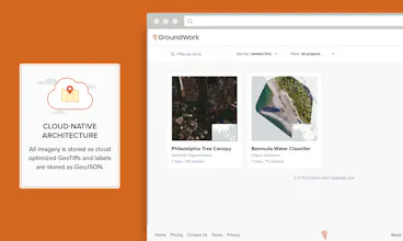
GroundWork makes it easy to label geospatial imagery and is now accessible to everyone! It supports efficient annotation workflows for several kinds of datasets - semantic segmentation, object detection and image classification.


GroundWork
CanisHub
GroundWork