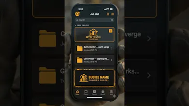
Most GPS camera apps hide location in EXIF metadata — invisible to whoever gets the photo, and stripped by WhatsApp, email and upload forms. GeoProof draws coordinates, address, time, accuracy, heading and altitude into the image itself, so it survives sharing. For contractors, inspectors, surveyors and adjusters. Works with no signal. Exports a day of photos as one client-ready PDF with signatures. Nothing uploads. No account, no cloud, no server. One-time unlock, no subscription, no ads.
No reviews yetBe the first to leave a review for GeoProof
Maker
📌
Hi PH 👋
I'm a solo developer. I built GeoProof after [WHAT ACTUALLY
STARTED THIS — a specific problem you saw, someone who asked
you for it, or a job you did yourself].
The thing that surprised me while building it: EXIF metadata
is basically useless as proof. It's invisible unless you go
looking for it, most apps strip it when you share, and anyone
can edit it in seconds. So people think their photos are
documented when they aren't.
GeoProof draws everything into the pixels instead. Coordinates,
address, time, accuracy, heading, altitude — visible in the
photo, so it still says what it says after it's been emailed
to a client.
Two decisions I'd defend:
Nothing leaves the phone. No account, no cloud, no server.
Partly principle, partly because job photos are somebody's
business and shouldn't sit on my infrastructure.
One-time price, no subscription. [WHY YOU CHOSE THIS]
It's not tamper-proof and I don't claim it is each photo
gets a SHA-256 fingerprint at capture so you can check whether
that file changed, and that's the whole claim.
Happy to answer anything. Especially interested in hearing
from people who document work on site what am I missing?