Drone Topographical Surveys
High-precision, high-accuracy topographical surveying
0 followers
High-precision, high-accuracy topographical surveying
0 followers
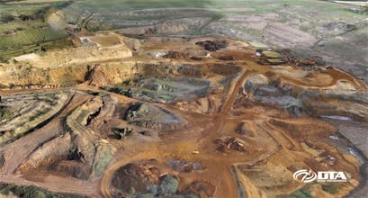
Drone Tech Aerospace is a market and technology leader in the supply of drone topographical land surveys for civil engineering, construction, landfill & recycling, mining & quarrying, real estate, and utilities. Precision and accuracy matches laser scanning.