
TransitLens
Browser-based GTFS viewer for routes, stops & schedules
0 followers
Browser-based GTFS viewer for routes, stops & schedules
0 followers
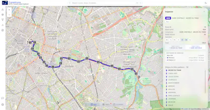
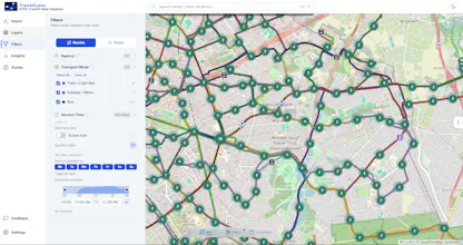
TransitLens is a browser-based GTFS viewer — no installation, no account required. Drop in a GTFS ZIP or paste a feed URL and instantly see all routes and stops on an interactive map, filter by route, agency, or transport type, click stops to inspect metadata, and explore schedules and service calendars. Supports GeoJSON and KML overlays for spatial and coverage analysis. Built for transit developers, GTFS engineers, planners, and agencies.



Free
Launch Team

Tines The single, secure environment for agents, apps, and automations.
Promoted


