
topograph
Real-time generative topography
3 followers
Real-time generative topography
3 followers
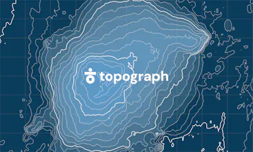
Topograph turns real elevation data into clean, customizable topographic graphics. Generate from data, upload your own sources, or search any location. Adjust contour density, styles, and color, then export as SVG, PNG, PDF, GeoJSON, DXF, or STL. Runs client-side. Free to explore. One-time license unlocks high-resolution export, batch processing, video, and shaders.


Free Options
Launch Team

Viktor.comAn AI coworker that actually does the work
Promoted

 Polarr Album+