OpenReco — Open
Open-source photogrammetry for 3D reconstruction.
8 followers
Open-source photogrammetry for 3D reconstruction.
8 followers
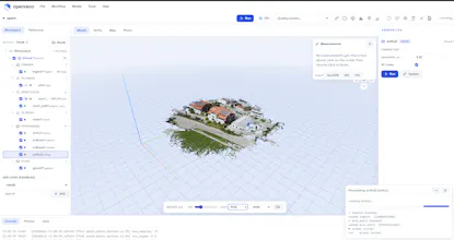
OpenReco is an open-source photogrammetry and reality-capture platform for generating 3D models, point clouds, textured meshes, and terrain data from photographs. Designed for researchers, surveyors, drone operators, developers, and creators, OpenReco provides image alignment, camera calibration, sparse and dense reconstruction, mesh generation, and texturing in a transparent, extensible alternative to commercial photogrammetry software.