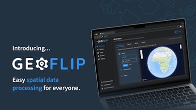
Geoflip.io: Geospatial Data Simplified
Simplify complex spatial data processing with our API & SaaS
29 followers
Simplify complex spatial data processing with our API & SaaS
29 followers
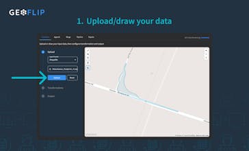
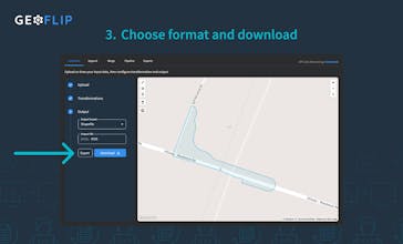
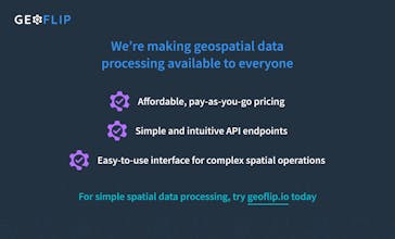
A geospatial API and SaaS platform for developers and non-technical users. Effortlessly transform, process, and convert spatial data like SHP, GeoJSON or DXF and more without expensive enterprise platforms. Simplify geospatial workflows for everyone.