Bonvo.Ski
Immersive 3D Snowboard Maps & AR Navigation.
7 followers
Immersive 3D Snowboard Maps & AR Navigation.
7 followers
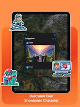
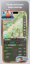
Ski resorts are 3D environments, yet most apps still use static 2D images. I built Bonvo.Ski to solve this. It renders mountain terrain in true 3D to help you visualize run difficulty and steepness before you drop in. Beyond mapping, it handles real-time friend tracking and AR wayfinding to identify lifts through your camera. The engine is optimized for offline use to save battery in the cold. I also just added a schedule tracker for the Winter Olympics.