
Launching today

PlanningMapsUK
Ordnance Survey Planning Maps For UK Councils
2 followers
Ordnance Survey Planning Maps For UK Councils
2 followers
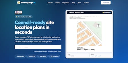
Create UK council-compliant site location plans with official Ordnance Survey mapping. Instant PDF download and CAD options for architects. Perfect for small homeowners looking to drop a kerb, plan a small extension or we also offer bespoke large scale mapping for solar farms, agriculture, new build and commercial developments covering large hectare coverage over the UK. Our tool has the best mapping user experience out of all the popular UK mapping providers.


Property Deal Analyser