Do you use COVID Maps in 3D?
What is COVID Maps in 3D?
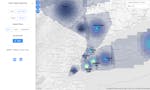
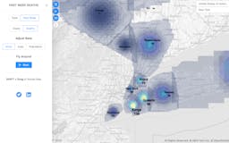
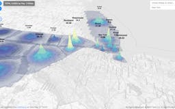
A 3D-COVID Map that gives better sense of proportions. Data for Deaths vs. Cases and Total vs. New; all optionally normalized with Area or Population.
Recent launches
COVID Maps in 3D
A 3D-COVID Map that gives better sense of proportions. Data for Deaths vs. Cases and Total vs. New; all optionally normalized with Area or Population.