
Do you use TravelTime Maps?
What is TravelTime Maps?
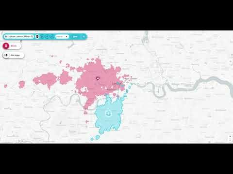
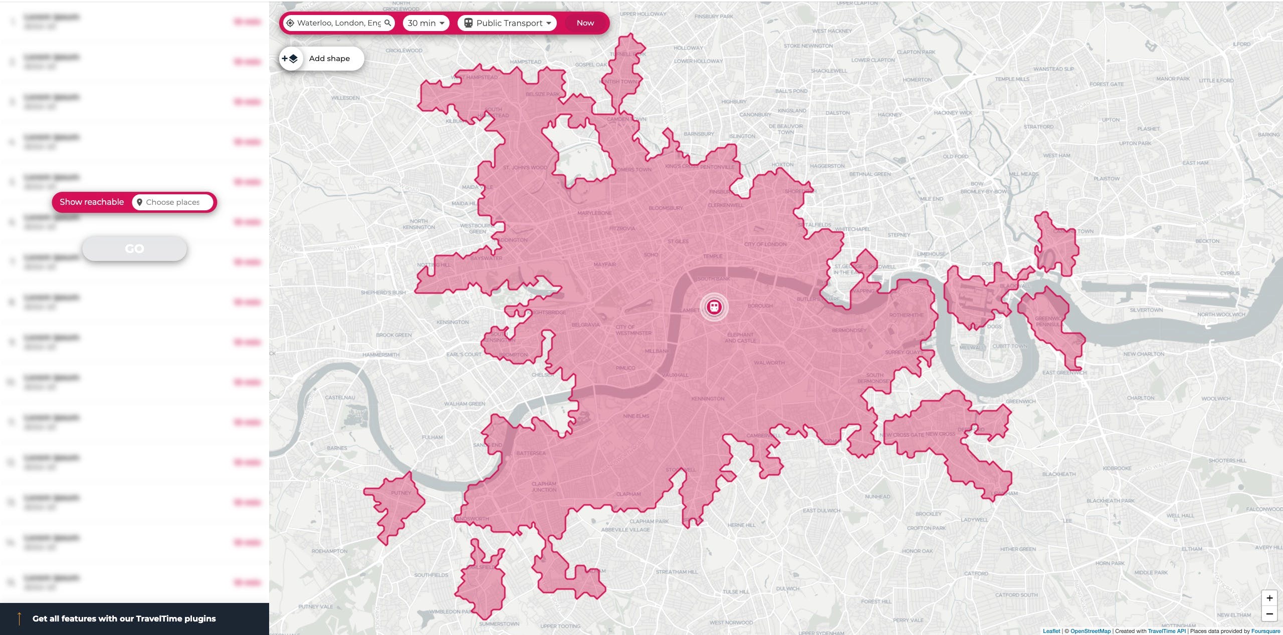
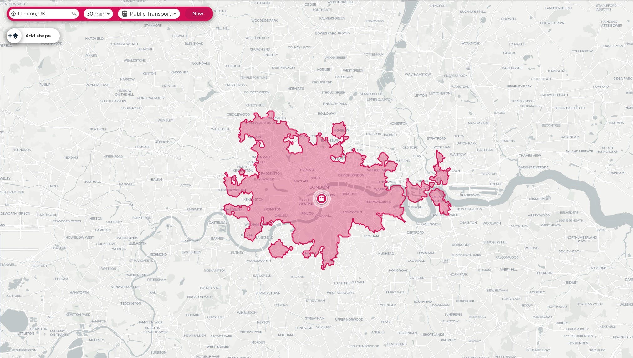
A simple web app that can visualise where you can reach within a travel time limit using different modes of transport. It calculates the shape based on public transport timetables and walking & driving data modelling. It's a demo version of the TravelTime API.
Recent launches
TravelTime Maps
A simple web app that can visualise where you can reach within a travel time limit using different modes of transport. It calculates the shape based on public transport timetables and walking & driving data modelling. It's a demo version of the TravelTime API.
💡 All the pro tips
Tips help users get up to speed using a product or feature
📣 Calling all experts and enthusiasts! Share your wisdom and leave a pro tip that will make a difference!