Do you use GroundWork?
What is GroundWork?
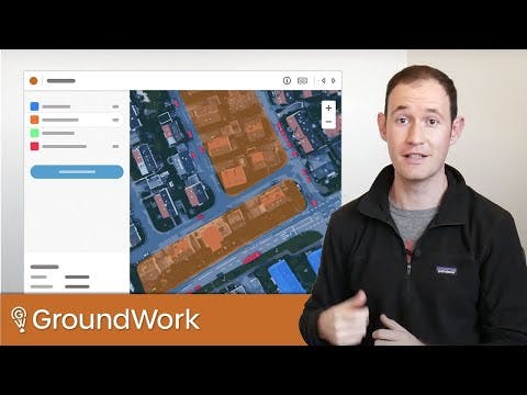
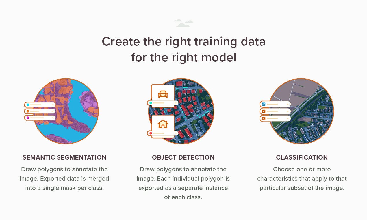
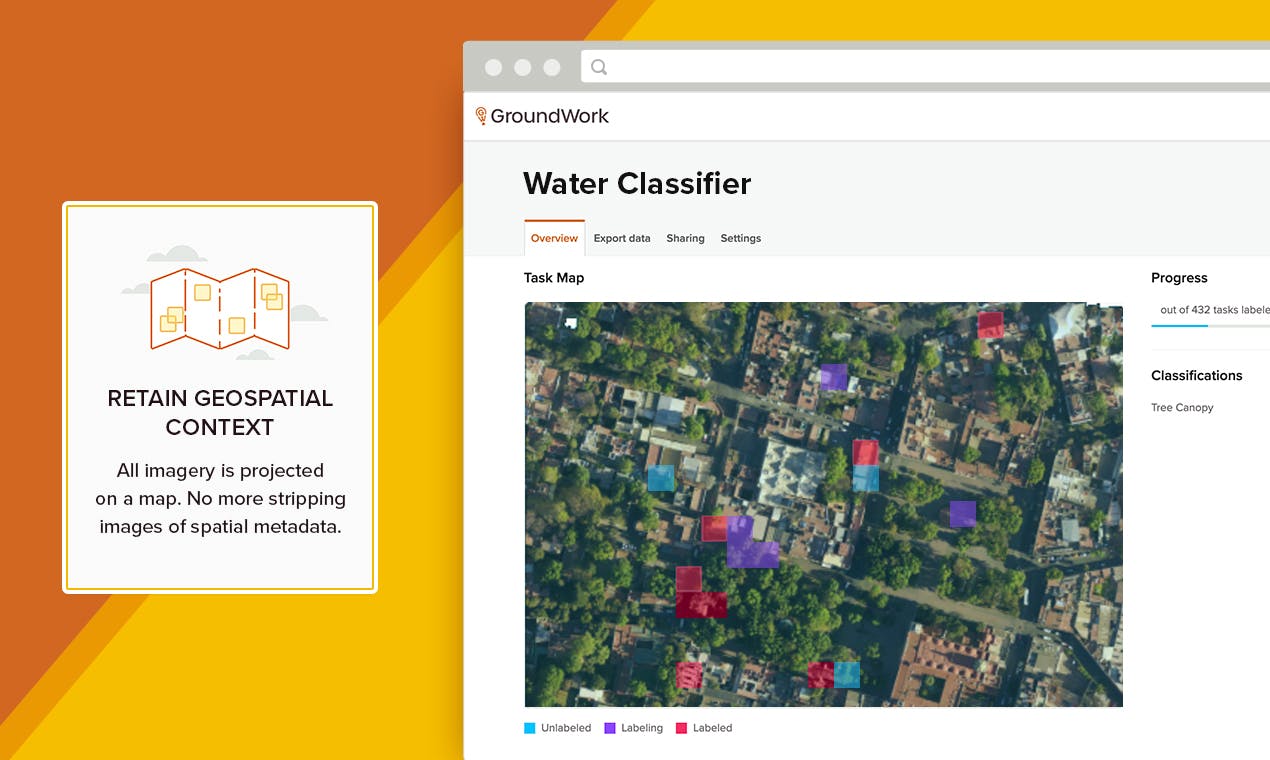
GroundWork makes it easy to label geospatial imagery and is now accessible to everyone! It supports efficient annotation workflows for several kinds of datasets - semantic segmentation, object detection and image classification.
Recent launches
GroundWork
GroundWork makes it easy to label geospatial imagery and is now accessible to everyone! It supports efficient annotation workflows for several kinds of datasets - semantic segmentation, object detection and image classification.
💡 All the pro tips
Tips help users get up to speed using a product or feature
📣 Calling all experts and enthusiasts! Share your wisdom and leave a pro tip that will make a difference!